



Mount Everest is officially 29,031.7 feet (8,848.86 meters) tall. Nepal and China announced that figure jointly on 8 December 2020, the first time the two governments agreed on a single number after more than a century of competing surveys. This report sets out the full Mount Everest height in feet and meters, traces every major measurement from 1856 to today, explains the science behind the number, and shows why the height is still moving.
The short version: the figure rose from 29,028 feet to 29,031.7 feet not because the mountain shot up, but because satellite and gravity instruments now read it far more precisely than 1950s survey chains could. The longer version is a 170-year story of triangulation, GPS, a frostbitten toe, a fifteen-year rock-versus-snow dispute, and an Indian mathematician who got the answer almost exactly right in 1852.
Key Findings of Mount Everest Height
- Official height: 8,848.86 meters, or 29,031.7 feet, set in December 2020.
- That is 8.84886 kilometers, or about 5.5 miles, above mean sea level.
- The mountain has been measured at least six major times since 1856, by British, Indian, American, Chinese, and Nepali teams.
- The number rises and falls for three reasons: tectonic uplift of about 4 millimeters a year, sudden earthquake movement, and seasonal change in the snow cap.
- The 2020 figure is the average of separate Nepali and Chinese summit surveys, both using GPS, gravity meters, and ground-penetrating radar.
- No measurement is ever final. Defining “sea level” beneath a mountain hundreds of miles inland held historical accuracy to within a meter or two.
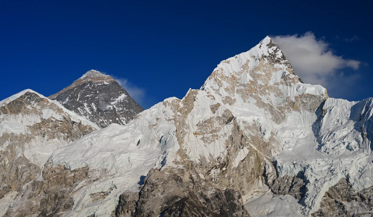
Mount Everest Height at a Glance
| Measurement | Detail |
| Official height (2020 to present) | 8,848.86 m / 29,031.7 ft |
| Height in kilometers | 8.84886 km |
| Height in miles | 5.5 miles |
| Previous standard (1954 to 2020) | 8,848 m / 29,028 ft |
| Rock height (China, 2005) | 8,844.43 m / 29,017 ft |
| Continent | Asia |
| Range | Himalayas |
| Border | Nepal and China (Tibet) |
| Local names | Sagarmatha (Nepal), Chomolungma (Tibet) |
| Annual growth | About 4 mm per year |
Where Mount Everest Sits: Location of Muntele Everest
Mount Everest stands on the border between Nepal and the Tibet Autonomous Region of China. The summit line runs straight along that border, which is exactly why its height became a diplomatic matter and not just a survey reading.
On the Nepal side, the peak rises above the Khumbu region of Solukhumbu District. Climbers approach from the south through Nepal or from the north through Tibet. Searches for the location come in many forms, so here is the plain table.
| Question | Answer |
| What country is Mount Everest in | Nepal and China (Tibet) |
| Continent | Asia |
| Range | Himalayas |
| Nearest region in Nepal | Khumbu, Solukhumbu District |
| Coordinates | 27.9881° N, 86.9250° E |
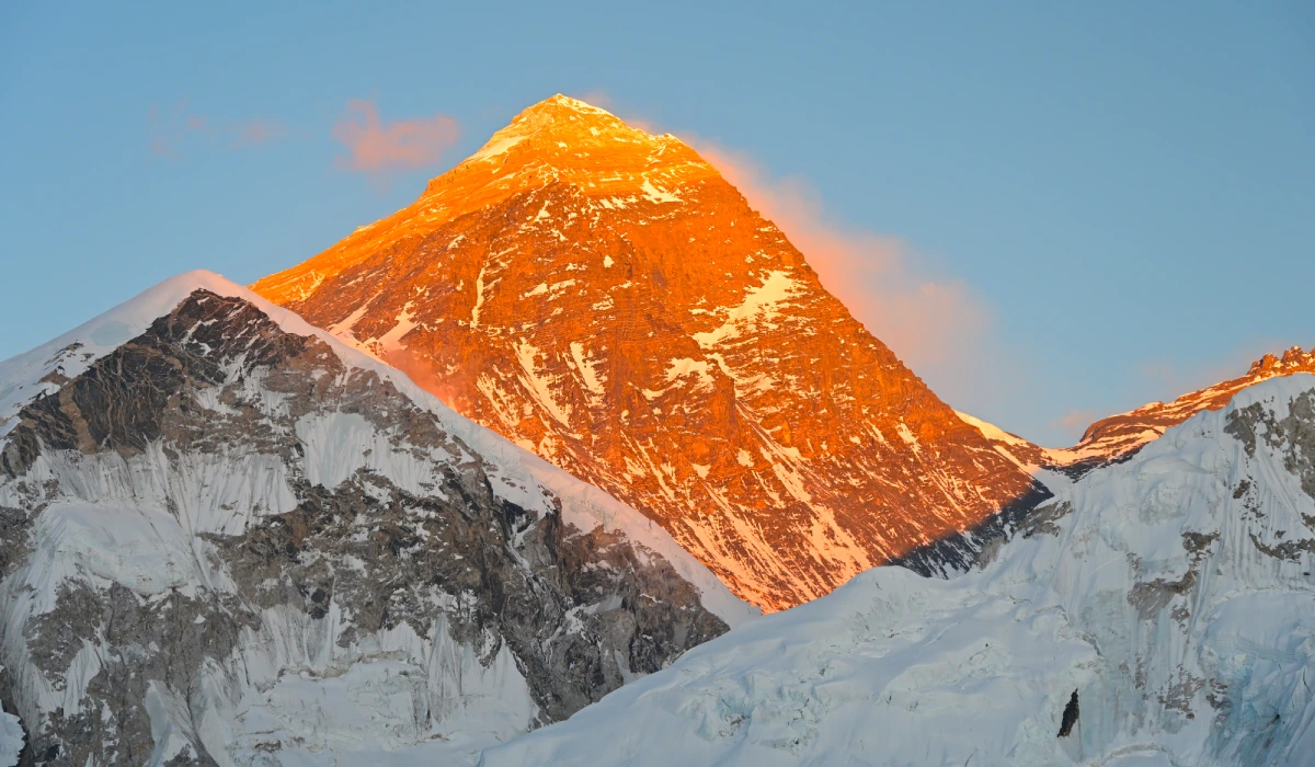
How You Measure a Mountain
Most people picture a giant tape measure. The real method is stranger, and understanding it explains why five honest surveys produced five different numbers.
A mountain’s height means its height above mean sea level. The problem is obvious once you say it out loud: the sea is hundreds of miles from Everest. So surveyors use a stand-in for sea level called the geoid. The geoid is an imaginary surface that follows the average level of the oceans and continues underneath the land, bent up and down by the pull of Earth’s gravity.
Modern teams measure in layers:
- GPS and GNSS receivers on the summit give the ellipsoidal height, the distance above a smooth mathematical model of the Earth.
- Gravity meters and precise leveling map the local geoid, the gap between that smooth model and true sea level.
- The elevation you quote, the orthometric height, is the ellipsoidal height minus that gap.
- Ground-penetrating radar at the summit measures the depth of snow and ice, so the team can report rock height and snow height separately.
The nineteenth-century surveyors had no satellites. They used triangulation. From two stations a known distance apart, they measured the angle up to the peak, then solved the triangle for height, correcting for the curve of the Earth, the bending of light through cold air, temperature, and pressure. From more than 100 miles away, small errors grew large.
The hard part has never really changed. Defining sea level under a landlocked mountain is a gravity problem, and gravity shifts with the rock below. That single difficulty held historical accuracy to within about two meters. The 2020 survey tied its result to a modern global reference, the International Height Reference System, which is why it carries decimals the old figures never could.

Everest Base Camp Trek – 14 Days
Everest Base Camp Trek is an iconic journey that follows in the footsteps of legendary mountaineers Sir Edmund Hillary and Tenzing Norgay Sherpa. It is done in eastern Nepal within the internationally recognized...
 14 Days
 Difficult
US$ 1440
The Measurement Record, 1856 to 2020
1856: the first official figure, and the man history skipped
The first real number came from the Great Trigonometrical Survey of India, a British project that mapped the subcontinent with chains of triangles. Surveyors observed “Peak XV,” as Everest was then called, from six stations across the plains of Bihar between 1849 and 1850.
The calculation fell to Radhanath Sikdar, an Indian mathematician and the survey’s chief computer in Calcutta. In 1852 he worked the readings and reached a clean result: exactly 29,000 feet. His superior, Andrew Scott Waugh, added two feet before publishing, afraid a round figure would read like a guess.
Published height: 8,840 meters (29,002 feet), announced in 1856.
Sikdar had no satellites and never stood near the mountain. His figure missed today’s official height by about 32 feet, an error of 0.11 percent across 168 years. Waugh named the peak after his predecessor George Everest, who reportedly disliked the honor. Sikdar’s name was later cut from the survey manual he had helped write.
1954: the standard that lasted fifty years
After India’s independence, the Survey of India measured again, this time from closer stations on the Bihar plains, under the surveyor Bihari Lal Gulatee.
Published height: 8,848 meters (29,028 feet).
This was India’s third survey of the peak. The number held for more than fifty years, printed in nearly every classroom map and climbing record. Some sources date its acceptance to 1955.
1975: China confirms the figure
A Chinese survey reached the summit and announced a height close to the Indian one, putting the mountain at 8,848.13 meters. It broadly confirmed the existing standard rather than overturning it.
1987 and 1992: the disputed satellite years
An Italian team using early satellite methods produced 8,872 meters in 1987, a figure most experts rejected as too high. In 1992 another Italian expedition carried a Leica satellite receiver to the top and reported 8,846 meters after subtracting about two meters of summit snow. Questions about both methods kept either number from sticking.
1999: the GPS revolution
An American team brought satellite positioning to the summit. The cartographer Bradford Washburn of the Boston Museum of Science led the project, the National Geographic Society funded it, and the veteran climber Pete Athans led the climb.
On 5 May 1999, two guides and five Sherpas reached the top and ran a GPS receiver for 56 minutes, far longer than the reading needed, syncing it with receivers at Base Camp and the South Col.
Published height: 8,850 meters (29,035 feet), a rock-head measurement that National Geographic still uses.
2005: China measures the rock, and a dispute begins
A Chinese team returned with ice-penetrating radar and GPS, and chose to report the height of the rock under the snow.
Published height: 8,844.43 meters (29,017 feet), accurate to within 0.21 meters, announced 9 October 2005.
That figure runs about four meters below Nepal’s because it stops at bedrock. The team measured 3.5 meters of snow and ice on top, which restores the older 8,848-meter figure once you add it back. Nepal kept the snow height. China kept the rock height. The disagreement ran for fifteen years.
2010: a partial truce
The two countries reached a working compromise. Both accepted 8,848 meters as the height, and Nepal recognized China’s rock height of 8,844 meters as a separate, valid measurement. It eased the dispute without fully settling it.
2015: the earthquake in Nepal that reopened everything
On 25 April 2015, a 7.8-magnitude earthquake struck Nepal. It raised a scientific question that pushed Nepal to measure the mountain itself. The full story sits in its own section below.
2020: the joint measurement that settled it
Nepal and China finally measured together. Nepal’s chief survey officer Khim Lal Gautam climbed with Rabin Karki and Tshiring Jangbu Sherpa and reached the summit at 3 a.m. on 22 May 2019, going up at night to beat the crowds. Gautam later lost a toe to frostbite from the hours spent taking readings in the dark.
China sent an eight-member team up the north side a year later, on 27 May 2020, and worked on the summit for two and a half hours. Both nations used GPS, ground-penetrating radar for snow depth, and gravity meters to fix sea level. They processed their data separately, then averaged the two results.
Published height: 8,848.86 meters (29,031.7 feet), official since 8 December 2020.
It is the first height both governments have ever announced together. Nepal carried out its share with its own surveyors, funding, and equipment, which the Department of Survey treated as a point of national pride.
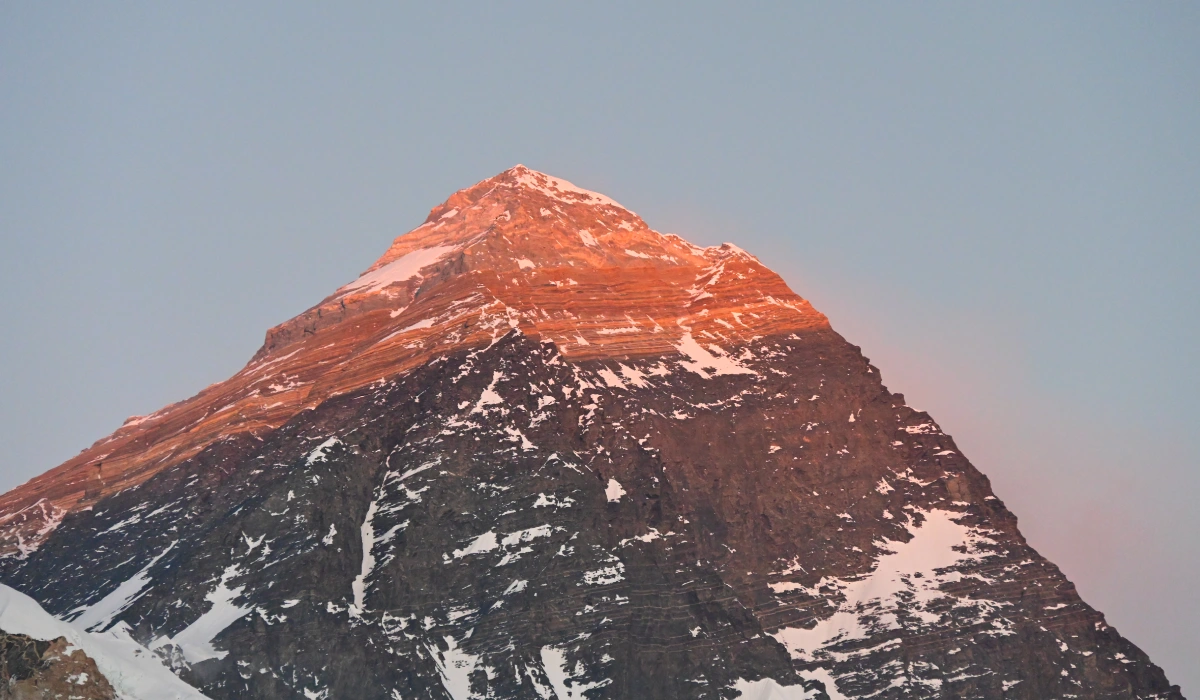
Mount Everest Height Timeline
| Year | Height | Measured by | Method |
| 1856 | 8,840 m (29,002 ft) | Great Trigonometrical Survey of India | Triangulation |
| 1954 | 8,848 m (29,028 ft) | Survey of India | Triangulation |
| 1975 | 8,848.13 m | China | Survey and triangulation |
| 1992 | 8,846 m | Italian expedition | Early GPS |
| 1999 | 8,850 m (29,035 ft) | US team, National Geographic | GPS, rock head |
| 2005 | 8,844.43 m (29,017 ft) | China | Radar and GPS, rock height |
| 2020 to present | 8,848.86 m (29,031.7 ft) | Nepal and China | GPS, gravity, radar |
Rock Height or Snow Height: Why There Are Two Numbers
The most common confusion about Everest is that it seems to have more than one height. It does, and the reason is simple once you see it.
Everest’s true rock summit wears a permanent cap of snow and ice, measured at about 3.5 meters thick in 2005. So a survey has to choose what it is reporting:
- Snow height, the top of the ice cap, is about 8,848 meters. This is the figure Nepal long preferred, and the surface climbers actually stand on.
- Rock height, the bedrock beneath the snow, is about 8,844 meters. This is the figure China published in 2005.
Both are correct. They measure different surfaces. The 2020 joint figure of 8,848.86 meters is a snow-inclusive height built from far more precise instruments, which is how the two sides finally agreed. When one source quotes Everest at 8,844 and another at 8,849, neither is wrong. They answer different questions.
What the 2015 Earthquake Actually Did
The Gorkha earthquake of 25 April 2015 was a magnitude 7.8 thrust quake that killed nearly 9,000 people and lasted around 20 seconds. It reshaped the ground across central Nepal, and it forced a real question about the mountain.
Early satellite data from Europe’s Sentinel-1A suggested Everest may have dropped by about an inch, roughly 2.5 centimeters. The finding spread fast, but it sat inside the margin of error. Kathmandu, far closer to the epicenter, lifted by about a meter, and parts of the Himalayas sank by as much as 36 inches.
For Everest itself, a consensus formed. National Geographic reported that the quake shifted the summit about 1.2 inches, or 3 centimeters, to the southwest, while leaving the height essentially unchanged. Chinese data later suggested the quake briefly reversed the mountain’s usual drift, returning it close to where it had stood nine months earlier. The takeaway: Everest moved sideways a little, and its height barely budged.
Why Mount Everest’s Height Keeps Changing
Everest is not a fixed object on a fixed planet. Three forces keep height of mount Everest in slow, measurable motion.
Tectonic uplift
The Indian plate keeps driving north into the Eurasian plate. That collision built the Himalayas and still lifts them. Most estimates put the rise at about 4 millimeters a year. Chinese instruments on Everest measured roughly 3 millimeters of vertical growth a year, plus about 4 centimeters a year of horizontal drift toward the northeast.
Earthquakes
Large quakes can move the mountain up or down in seconds. Scientists believe a 1934 earthquake may have dropped Everest by around 60 centimeters. The 2015 quake nudged the summit sideways without changing its height in any way later surveys could confirm.
Snow and ice
The summit’s snow cap thickens and thins through the year. A late-season survey and an early-season one can read the top of the snow at slightly different points, which is one more reason teams now separate snow height from rock height.
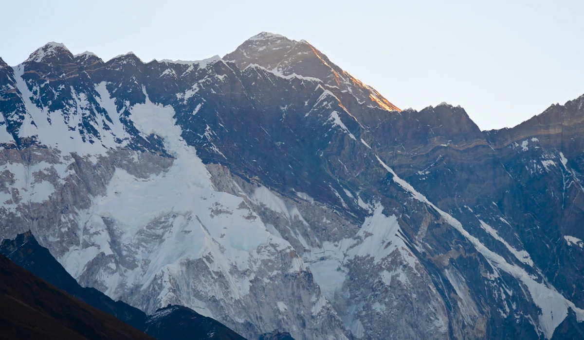
Mount Everest in Context
Numbers mean more next to other numbers. Here is how Everest compares to its neighbors and to the air above it.
| Feature | Height |
| Mount Everest | 8,848.86 m / 29,031.7 ft |
| K2 (second highest) | 8,611 m / 28,251 ft |
| Kangchenjunga (third) | 8,586 m / 28,169 ft |
| Lhotse | 8,516 m / 27,940 ft |
| Everest South Base Camp (Nepal) | 5,364 m / 17,598 ft |
| Everest North Base Camp (Tibet) | 5,150 m / 16,900 ft |
| Typical airliner cruising altitude | About 10,000 to 12,000 m / 33,000 to 40,000 ft |
A passenger jet cruises above the summit. A climber on top breathes about a third of the oxygen available at sea level. The climb from South Base Camp to the summit covers nearly 3,500 meters of vertical gain.
29,031.7 feet of pure majesty. The rock, the snow, and the absolute roof of the world are waiting for you. Don’t settle for reading the maps; walk the iconic Khumbu trail with the team that handles every detail from arrival to Everest base camp. Claim Your Spot on the Trail with Explore Vision Nepal
Mount Everest Height in Different Units
| Unit | Height |
| Meters | 8,848.86 m |
| Feet | 29,031.7 ft |
| Kilometers | 8.84886 km |
| Miles | 5.5 miles |
| Yards | About 9,677 yd |

Everest Three Passes Trek – 17 Days
Everest Three Passes Trek is an adventurous journey that crosses three legendary passes in the Everest region. This is the most extreme adventure that challenges your endurance level and offers a life-changing experience....
17 Days
Challenging
US$ 1650
Frequently Asked Questions
How tall is Mount Everest in feet?
Mount Everest is 29,031.7 feet tall, which equals 8,848.86 meters. Nepal and China set that as the official height in December 2020.
What is Mount Everest’s height in kilometers?
Mount Everest stands 8.84886 kilometers above sea level, or about 8.85 km.
What country is Mount Everest in?
Mount Everest lies on the border of Nepal and China (Tibet). The summit belongs to both countries.
Who first measured Mount Everest?
Radhanath Sikdar, an Indian mathematician with the Great Trigonometrical Survey, first calculated the height in 1852 at 29,000 feet. It was published as 29,002 feet in 1856.
Why does Mount Everest have two different heights?
Surveys measure different surfaces. The snow-capped summit is about 8,848 meters. The rock beneath it is about 8,844 meters. Both readings are accurate.
Is Mount Everest still growing?
Yes. Tectonic uplift raises the region by roughly 4 millimeters a year, though earthquakes can cause sudden drops.
Did the 2015 earthquake change Everest’s height?
It shifted the summit about 3 centimeters southwest. The consensus among scientists is that the height itself barely changed.
How is Everest’s height measured today?
Teams place GPS receivers on the summit, map local gravity to model sea level, and use radar to measure snow depth. They combine all three to calculate the elevation above sea level to finalize the height of mount Everest.
The Bottom Line
Mount Everest is 29,031.7 feet (8,848.86 meters) tall. The figure has moved over 170 years not because the mountain changed much, but because each generation of surveyors saw it more clearly than the last, from Sikdar’s pencil-and-paper triangles to satellite receivers anchored in summit ice. The current number is the most precise ever recorded, and the first that Nepal and China agreed to share. It will keep inching upward, about 4 millimeters at a time, long after anyone reading this.
The world’s highest peak is waiting!
That’s the whole history and story; now stand where it happens. Experience the raw majesty of the Himalayas with the experts who know every trail by heart. Book Your Everest Base Camp Trek with Explore vision Nepal Today!